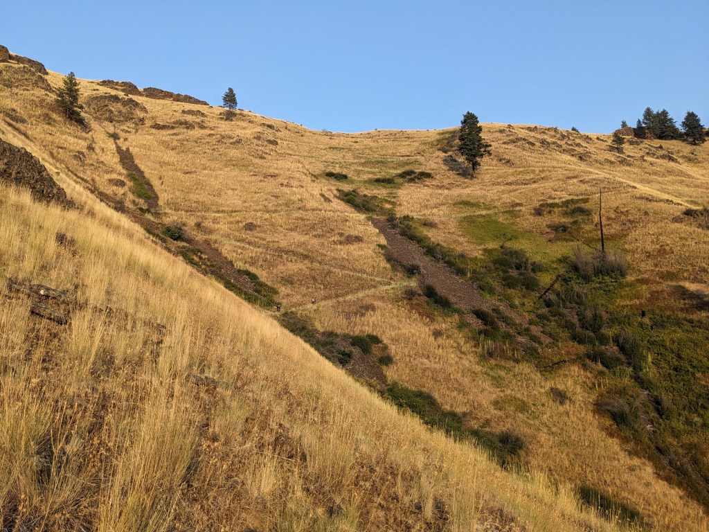
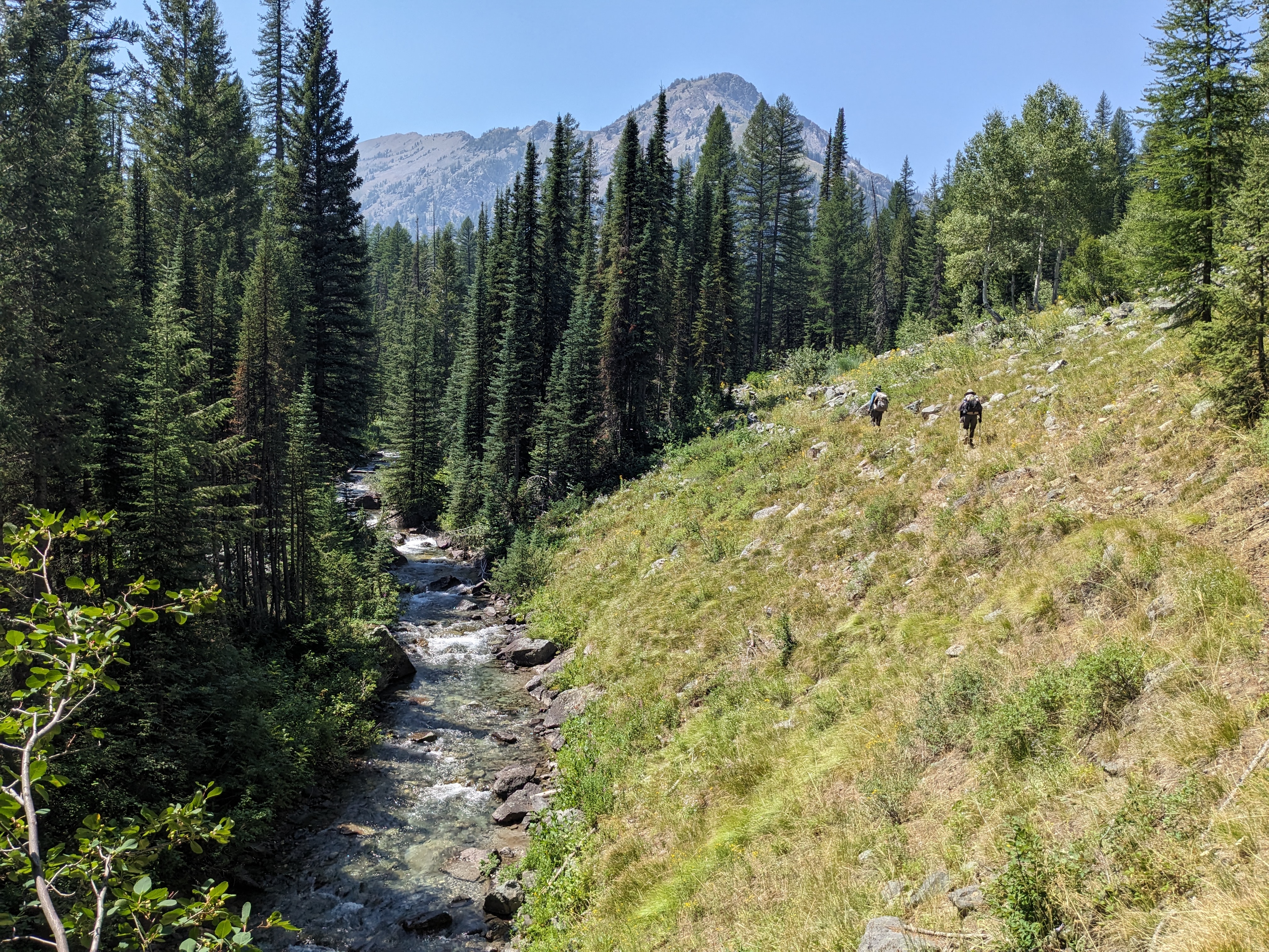
“What happened?” O’Well asked me as I picked my way carefully down a trail, slippery with loose gravel and very steep. He hadn’t seen me fall, but had spotted me sitting in the rocks and dirt when he rounded a switchback, trying to determine if I had the energy to stand up. I hadn’t eaten enough breakfast and it was 9:30, not quite time for first lunch. I hadn’t really been eating enough period. I wasn’t hungry, but I felt a deep fatigue in a way that was very unfamiliar to me. Just before I fell I ripped a large hole in the shin of my pants, brushing my way past some foliage on the overgrown trail, and I was struggling to keep my footing on the steep ridgeline. When I did tumble, my thoughts were distracted and spacey, not quite paying attention to where I was placing my feet. Instead of falling backwards, uphill with my butt landing on the ground, I fell forwards, headfirst downhill, and landed with my pack weight on top of me, elbow and ankle cracking on rock. I was okay, but rattled in the way that you become when you realize something could have gone a lot worse than it did.
“I fell,” I whispered against the lump in my throat, vision blurred. He wrapped me up in his arms and I let my forehead rest against his sweaty neck. I felt bruised and fragile. I felt weak, incompetent, fat, and ungainly.
We hiked another mile, first downhill, then beginning an ascent that ended up being quite short but felt like an eternity. I was full of self pity and had that intense sense of emptiness, as in, the needle is below red and there isn’t a gas station in sight.
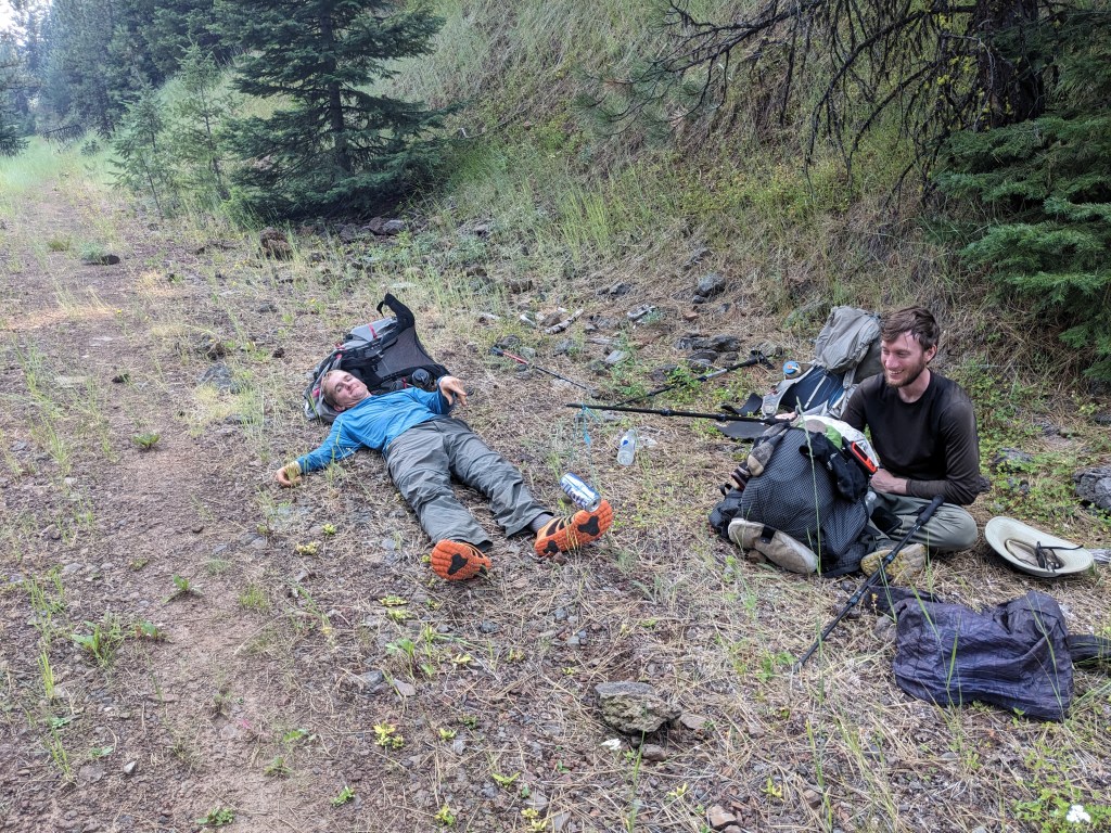
“I’m really tired,” I said, halting in the middle of the trail. O’Well and Gretzky halted behind me, they had been busy knocking large-ish rocks off the trail and listening to the crashes as they bounced and tumbled through foliage and against other rocks into the canyon.
“Early lunch?” O’Well suggested and we all agreed.
I ate a Lara bar and some rehydrated chickpeas. I felt much better. I kept hiking.
~
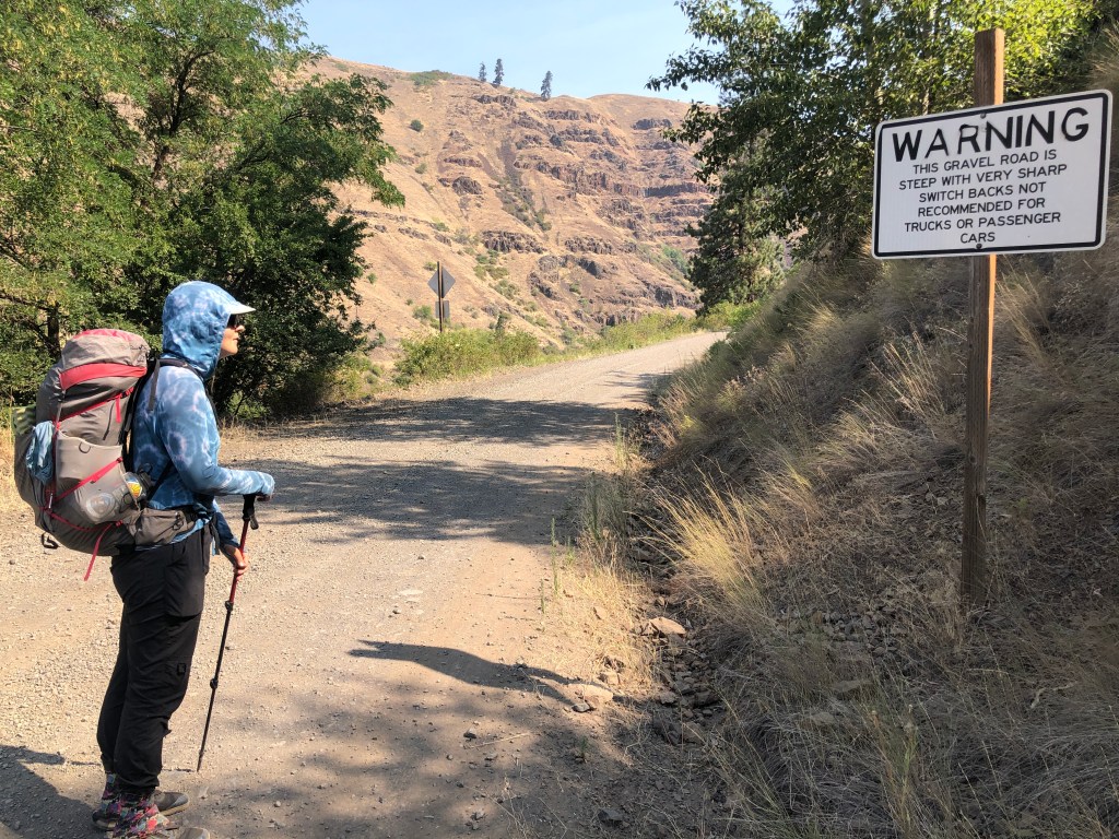
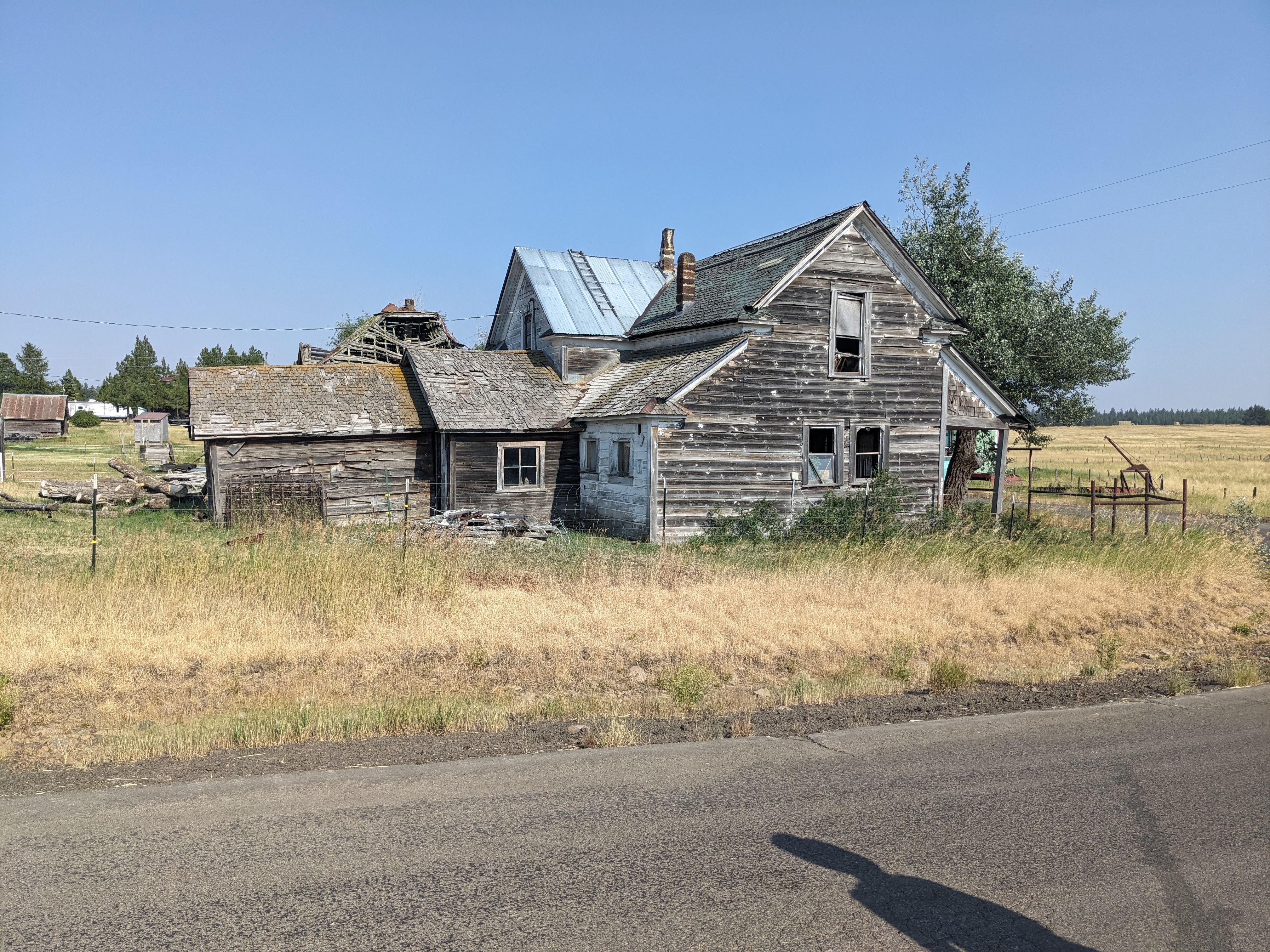
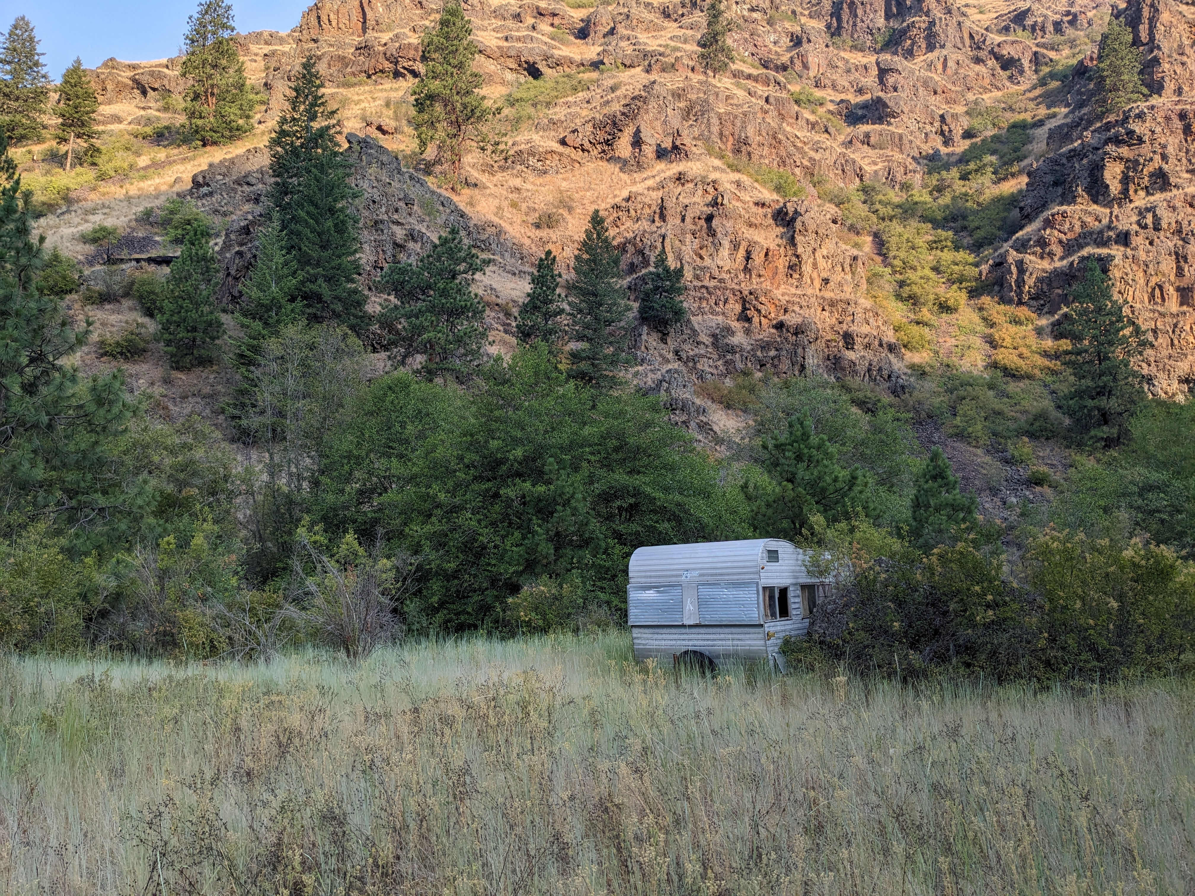
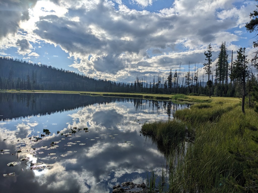
We hiked out of Troy on July 23rd, making it our 23rd day on trail. We had 9 more to go to the end of the trail, with just one resupply in between. My pack felt very heavy, carrying six days of food, but the plan was to redistribute our resupply at camp since Gretzky was carrying almost no food, so I knew my pack would get significantly lighter that evening. We essentially road walked the whole day on roads that were actually pretty well trafficked. We passed through dry farmland, growing mostly wheat, and it was dry. It was a 19 mile day and we knew we basically wouldn’t have any water until we got to camp, but because I my pack was so heavy I was reluctant to pack out more than 2 liters of water. It was a long, hot, exposed climb out of Troy though and I was greatly regretting this by the time we got to the top of the ridgeline where things flattened out a little. I was checking every seasonal stream we passed, but it was late July and there was really no real hope they would be flowing. I got very lucky though and we actually passed through a small community called Flora. They had an abandoned schoolhouse and a plethora of RV’s parked next to broken down, abandoned homes. A few stick built homes were kept up though and we passed a house where a woman was out in the front yard with her apparent grandchildren, playing in a kiddie pool. I approached and asked if we could fill a couple water bottles with her garden hose and she very kindly complied, telling us that the community used to have a church and giving us a small update on a wildfire burning a couple ridgelines over – we had seen the smoke plume on our ascent out of town.
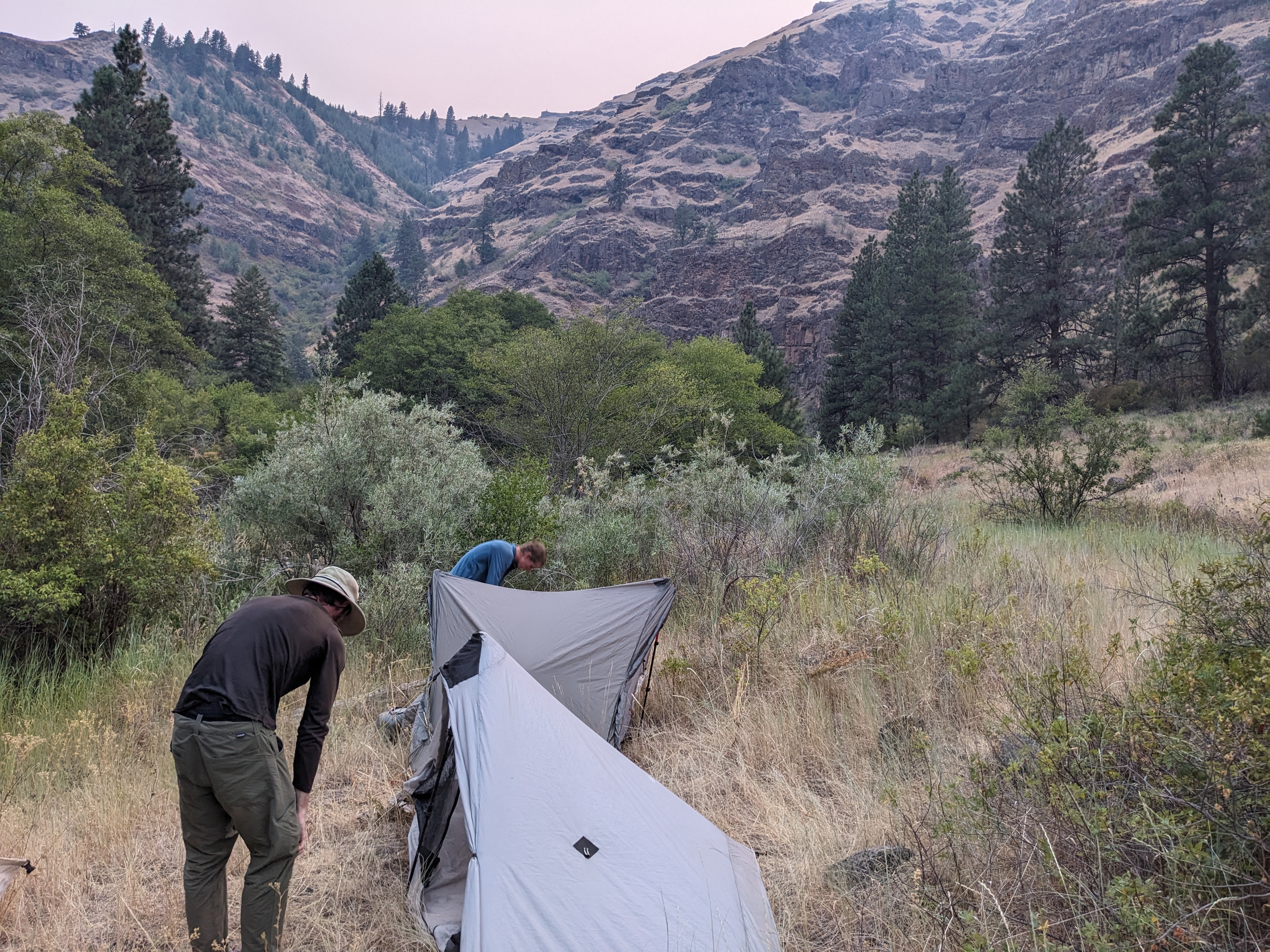
Once again, we camped at the bottom of a canyon, this was generally the best location for water in this dry land, and the creek was flowing well. While O’Well looked at elevations and mileages for the rest of the trail, Gretzky and I dumped all of our food in a pile. He had enough lunches for 3 days. We were one day down so I gave him enough bars to cover the remaining 2. Then we split up the breakfasts and dinners, all of which were enough for 2 people, and we would just cook them together every morning and evening and split them 3 ways. It was enough food. I admired the canyon as we shared a bag of chili mac and thought about how lovely it was to be outdoors.
The next day was weird. We ended up hiking 20 miles, but after the first 4 I already felt like I had used all my energy. We left camp and immediately had to ford a shallow but wide creek 3 times in quick succession, so my shoes and socks were wet starting out the day. Then we began our ascent out of the canyon, which ended up being a cross country stretch of about a half mile, but we gained 1500 feet of elevation. The data book said, “Follow draw about ⅓ of the way up then climb to ridge.” This wasn’t enough to impress upon us how difficult this climb was. It took probably an hour, scrambling and, at times, climbing up and over rocks. I was still panting and sweating my way up when I heard a loud, “EeeeeYOOOO” from the top, indicating Gretzky had gained the top of the ridgeline. Even from that point we continued on up the ridgeline.

When we finally reached more level ground, we stopped for first lunch at a cow trough which was supposed to be our water source, we had only packed about a liter from the creek as the piped spring was supposed to be reliable. It was dry. We hiked several more miles, taking an alternate forest road that would bring us past a couple seasonal creeks which were also dry. We finally found water at a twin pair of cow ponds which we filtered and pretended didn’t taste like cow dung. We didn’t get too much though, holding out hope that the next creek marked would have water. The plan was to have second lunch there, but Gretzky and I got there it was water but also of questionable viability, so we decided to hike on another 1.5 miles to the next reliable creek. We were a little bit ahead of O’Well, but I figured once he arrived he would see the water was no good and continue on to the next creek which was marked reliable in the databook.
When Gretzky and I got there it was also dry, but we were well past our normal second lunch time and we slumped on the side of the forest service road to eat a snack and wait for O’Well. We hadn’t been sitting for long when 2 trucks rolled up, a fire crew passing through. We flagged them down and they were able to give us about 6 liters of water which would get us to the next reliable water source the next morning, a huge relief after our very dry day. I had also noticed the gathering clouds and the thunder rolling, and I asked them what they thought. They said they were surprised by it too. Not long after they departed, the rain began and Gretzky and I huddled under the trees, zipping on our rain gear we hadn’t had to use up to that point.
By that point I was starting to worry about O’Well. I hadn’t seen him in several hours by then and typically if he fell behind he wouldn’t be more than 20 minutes back. I sat under a tree, calculating how long he might have stopped to break at the last dry creek before hiking on, and how long it would take him to catch up. I thought about all the things that could have happened to him: Got confused about where we were and was sitting waiting a mile and half back on the trail, got sick and was throwing up somewhere, fell and broke his ankle and was sitting in a ditch by the road, got lost. I was worried and I went out to stand in the road and watch for him, happening to catch a spectacular lightning bolt splitting the sky.
“I’m going to walk back a bit and see if he took shelter at that guard station,” I told Gretzky, not wanting to just sit around anxiously. O’Well wasn’t at the guard station so I kept walking, remembering that there was a long straightaway a half a mile back that I would surely spot him on. He wasn’t there. I kept walking for a moment but my better judgment caught up to me. Gretzky didn’t know I was continuing walking, and I didn’t have my Garmin satellite device on me to send a message to him on his own Garmin. I trudged back to where he was still huddling under the trees, although the rain was now letting up, told him my plan and got my Garmin, then headed back out. I intended to walk back to the previous water source and pray O’Well was somewhere along the way.
I hadn’t even made it back to the straightaway when he materialized, wet but looking relieved to see me, but otherwise perfectly fine. I tried not to be angry as I demanded the story from him. When he arrived at our intended lunch spot and we weren’t there he had looked around the area, then sat for a while, then blew his whistle and yelled for us. He didn’t know what to do and ended up taking one of the intersecting forest roads to get him up higher on the ridgeline where he was able to get some cell service and call my dad to have him send a message to my Garmin that he would meet us at our planned campsite for that night. I didn’t actually receive that message from my dad until after I reunited with O’Well, but it was a good plan given he didn’t realize we were only a mile down the trail from him. Apparently he had been as anxious as I was about being separated with no means for communication, and we agreed on some new rules about communicating our break spots. From that point on we tended to stick together while hiking a little more anyway.
We still made 20 miles after dallying for a couple hours, and we cooked dinner with the water we got from the fire workers. It was good enough to cook with, but unfortunately drinking it wasn’t great. It seemed that they stored their water jugs next to the gasoline and it had a very unique flavor. Even when you burped you could taste the gas fumes.
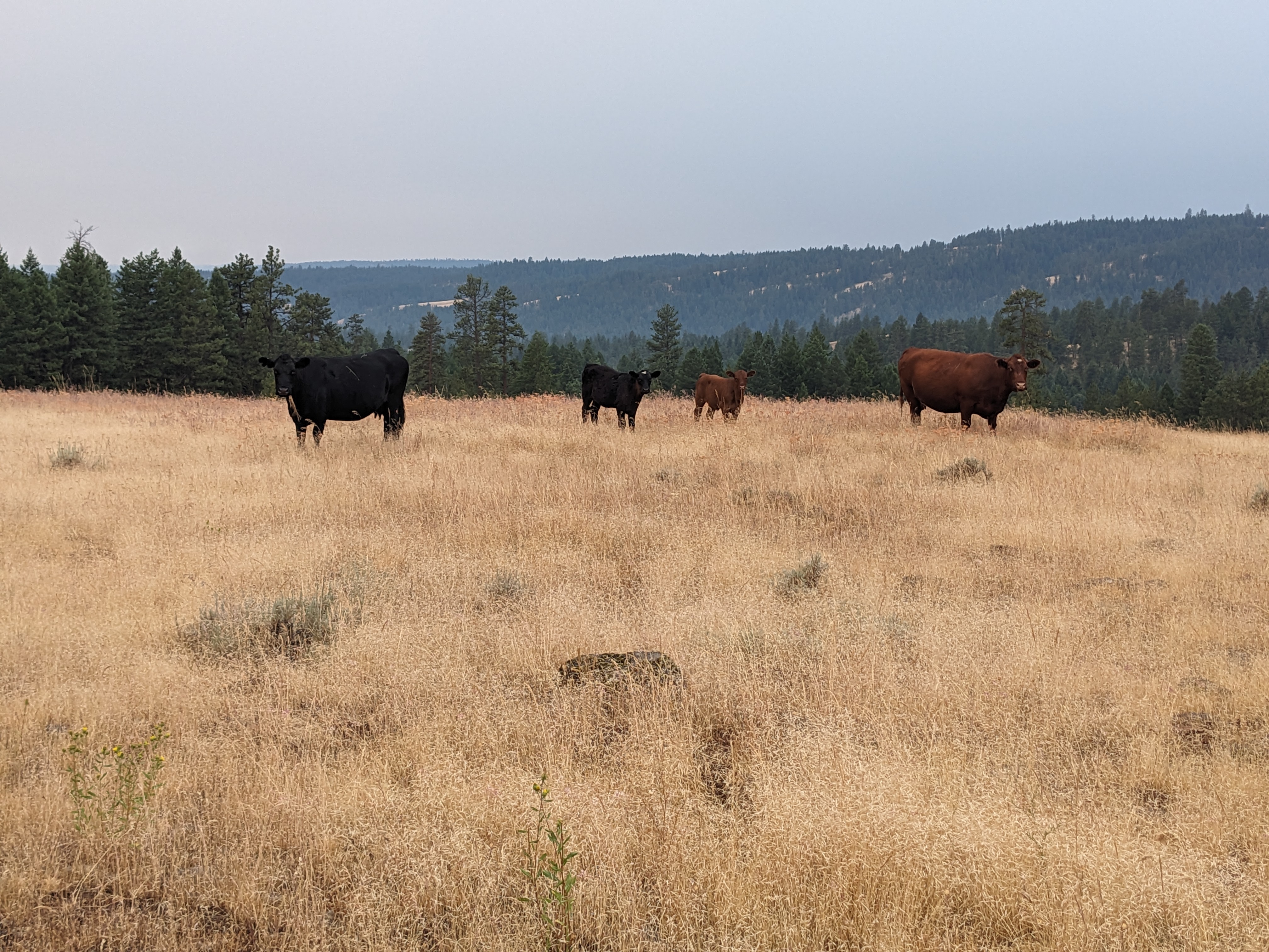
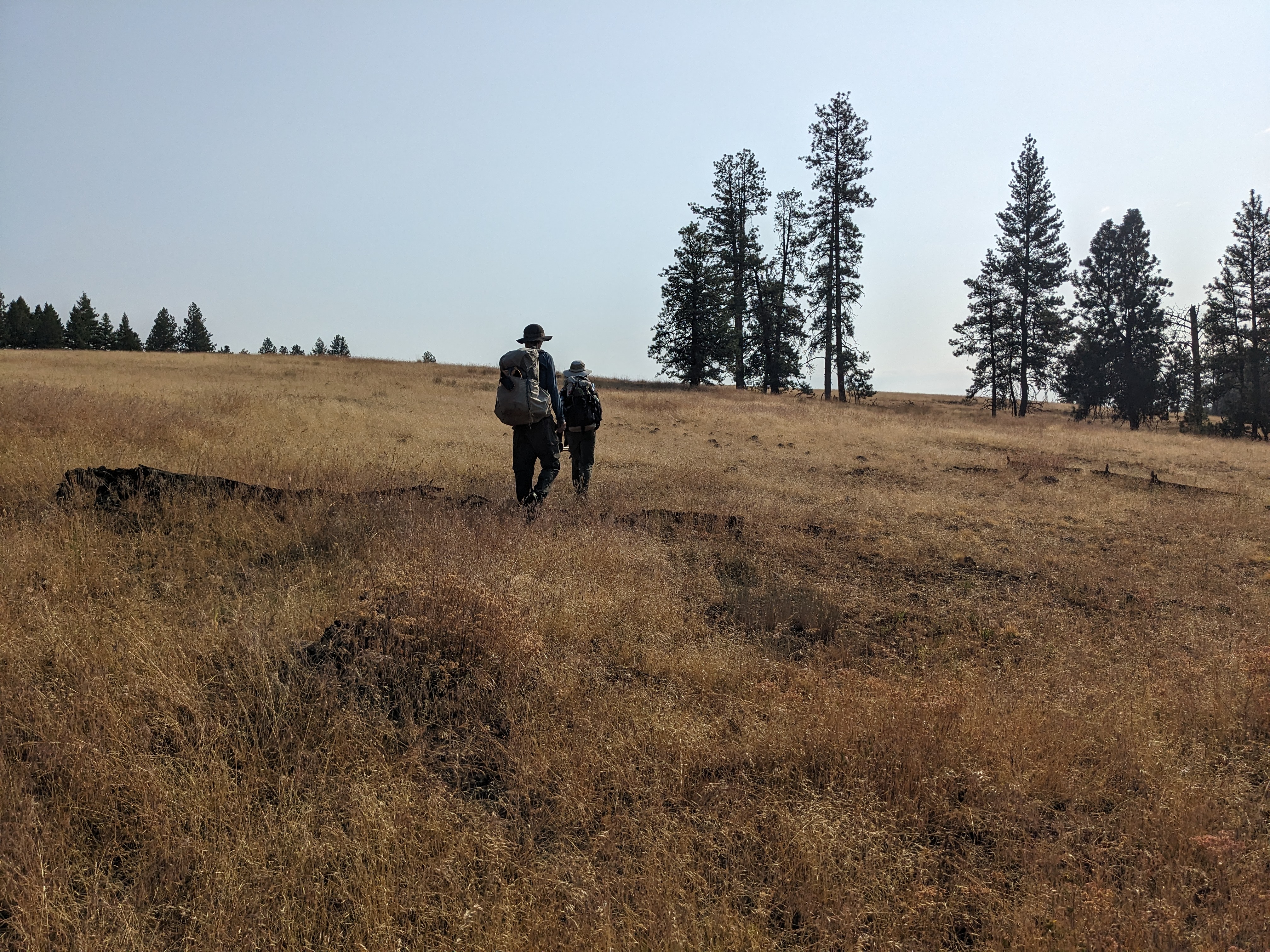
We did another 20 miles the next day. We were in a little too good a mood starting out, laughing and joking, I think mostly relieved after all the drama the day before to have an easy, downhill morning. We didn’t realize until we were 2.5 miles in that we were hiking down the wrong forest road. We had essentially been hiking at a 90 degree angle from the actual trail, and it made more sense to cut across country than to backtrack. Fortunately the terrain was very easy for cross country, with little underbrush and very gradual terrain, it was more of a stroll through the cow pasture than a bushwhack, which felt like a blessing after all the brutal cross country we had been doing. Most of the day ended up being watching the cows and walking on the gravel roads. The weather was much cooler, although we were able to dry out our wet tents. All in all we had a very pleasant day and it ended in the best way possible.
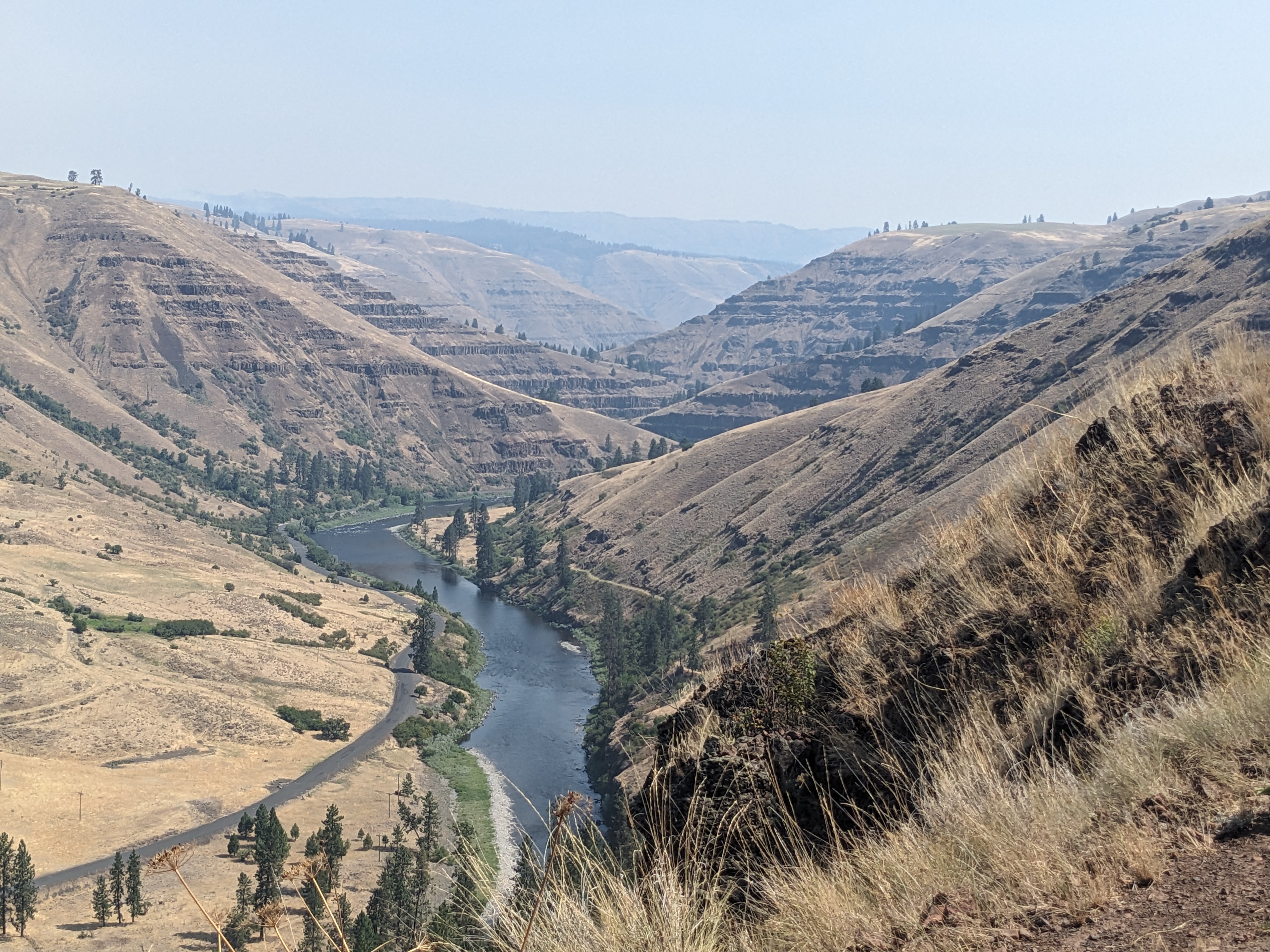
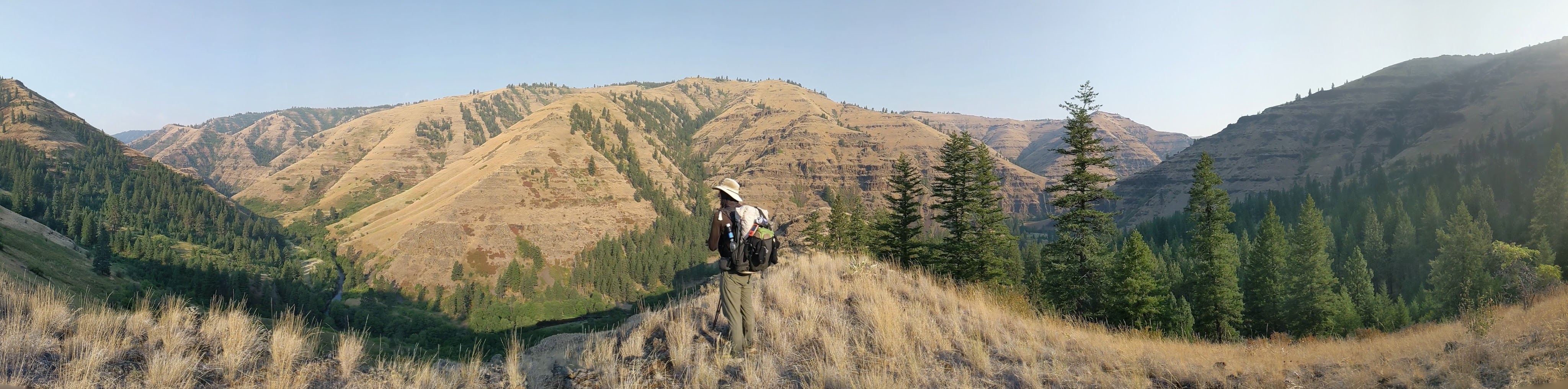
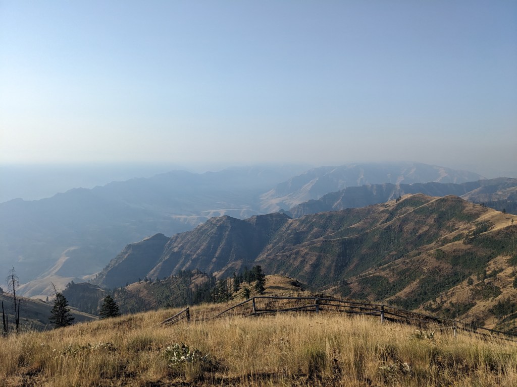
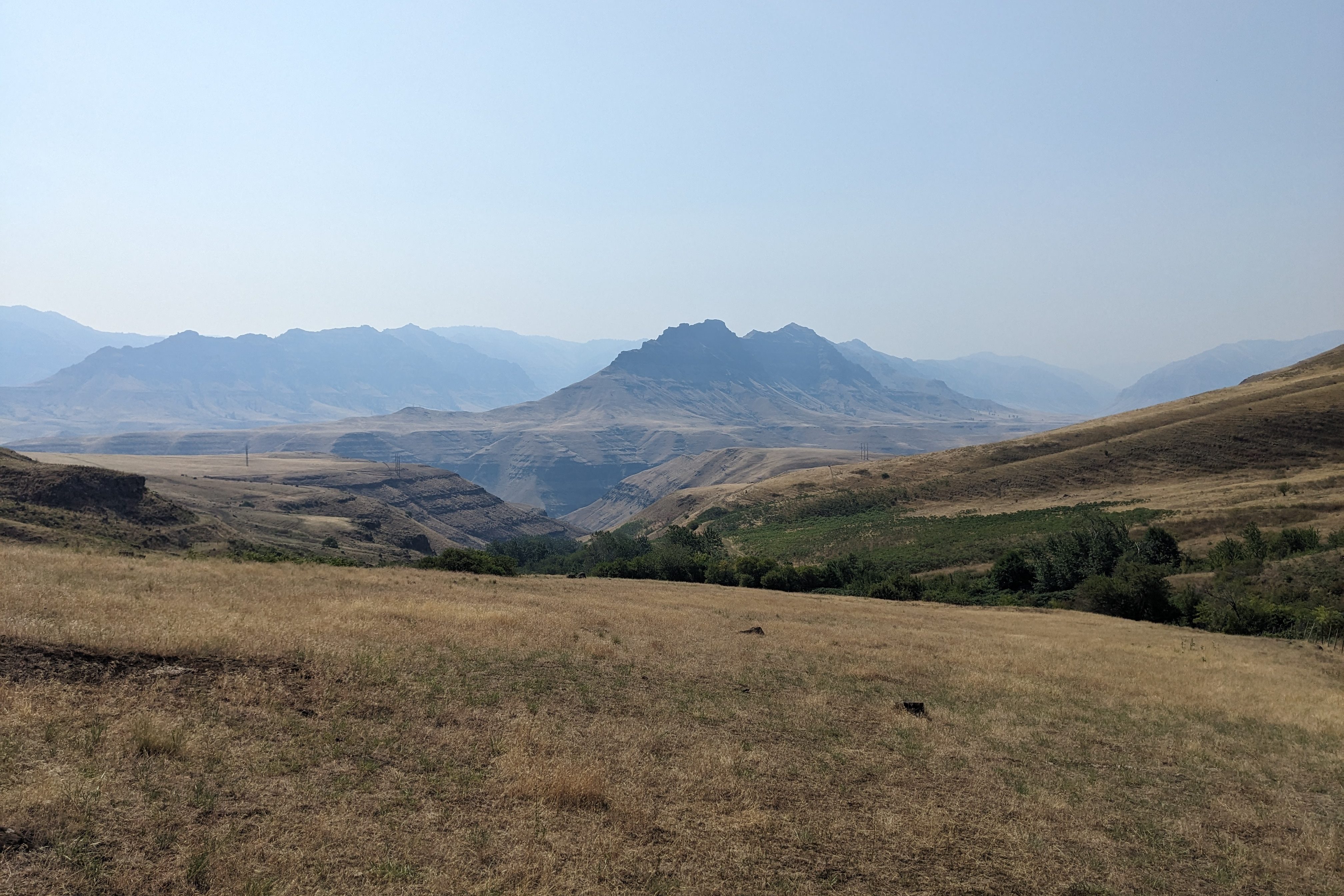
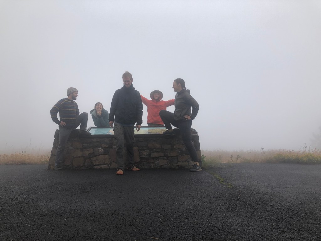
We arrived at Buckhorn Overlook, our first view of Hells Canyon, and which the databook described as the best view on trail. For us it was rather smokey which perhaps diminished some of the grandeur, but it was still incredible and felt like a huge achievement after how far we had come, how hard we had pushed, how hard we were working now on our rationed food. It was actually a little chilly that night, and I felt like part of the trail in a way that is hard to describe, sharing our dinner 3 ways at the edge of the canyon. I had earned this moment, and I was living it. We had just a week left of the trail, and I reminded myself to appreciate it while it lasted.

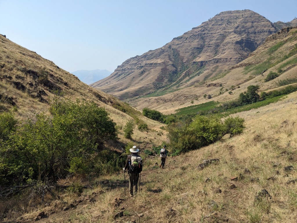
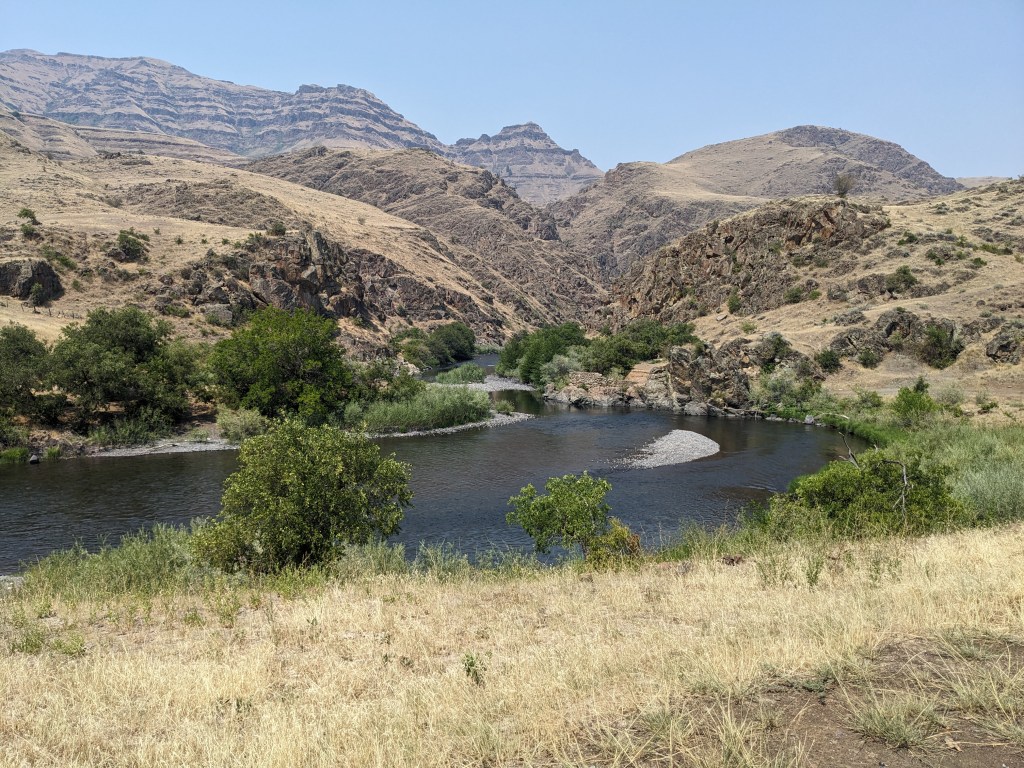
The next morning, we followed a trail for about a mile, and then dropped straight down into the canyon, following a rough cow trail along a draw. I was amazed as we entered the canyon how it seemed to be actually multiple tiers, like one deep canyon had formed and leveled off, and then another had split the ground below that original canyon. Something about hiking down into the canyon gave me a sense of the depth and breadth that I hadn’t quite comprehended at the rim, and I was awestruck. After descending the first tier to a wide grassland that is still used for grazing, we followed the Ne Mee Poo trail, a historic route taken by the Nez Perce, led by Chief Joseph, when the US army corp demanded they leave their native land in Oregon and travel to a reservation in Idaho. We followed the route cross country down to the very bottom of the canyon where the Weneha river flows, stopping there for lunch.
So, what goes down must come up, and after descending the 4000 feet into the canyon we spent the rest of the day regaining it. The initial ascent was very gradual. We peeled off from the Weneha river at Cow Creek Bridge and followed Cow Creek up through the ranches and cattle land. I was astonished to realize that all the incredibly steep hillsides on either side of the canyons we passed through were also grazing land. On every hillside (more like cliffs) you could see horizontal lines running across, one on top of each other, indicating paths that the cattle had trod. Eventually we had to leave Cow Creek though, and we still had about 6 miles to gain the top of the ridgeline where we wanted to camp near the Lord Flat landing strip, and it was going to be completely dry until then, with additional miles to hike before we hit water in the morning too. We each determined, given the heat, we needed to pack 4 liters up from Cow Creek. O’Well shared a Goo packet between us. “I’ve been saving this for a difficult climb I’m really not looking forward to.” He declared before downing his third of the syrupy energy supplement.


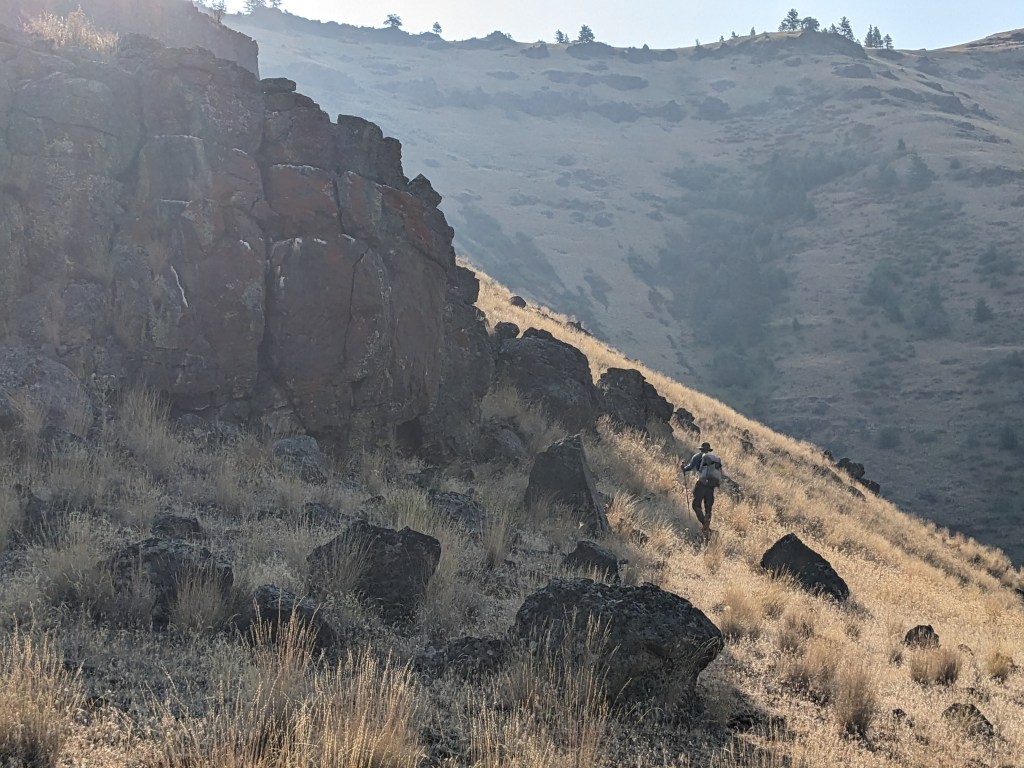
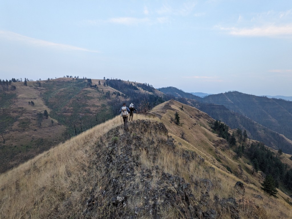
I took the rear, being the slowest on ascents, and began my measured way up the side of the canyon. I was incredibly grateful that this was an actual trail and included switchbacks, although it was very overgrown with poison ivy and thistles in places so hazardous nonetheless. When I got to the rim I still felt good, thinking we were pretty much done with our elevation. It turned out we still had another 900 feet or so to camp and my 4 liters of water were literally weighing me down. I remember thinking I was so close, only about a quarter mile from camp as the crow flies, and looking up and seeing a wall of switchbacks in front of me, disappearing into the grassy knoll above me. O’Well and Gretzky had disappeared far ahead. It was about 9 pm and getting dark. I hitched in a breath and plodded on. Every time I turned a switchback I noticed my labored breath and my burning thighs and my depleted body, my beating heart. I found that other place in my mind, the part of me that isn’t my body and isn’t my thoughts, but is the awareness of those things and I rested in that place. I am not my body. I thought. When I got to camp I dumped my pack on the ground and collapsed next to it, crawling around on all fours to pitch the tent in the dark. We hiked 21 miles that day, in and back out of Hells Canyon.


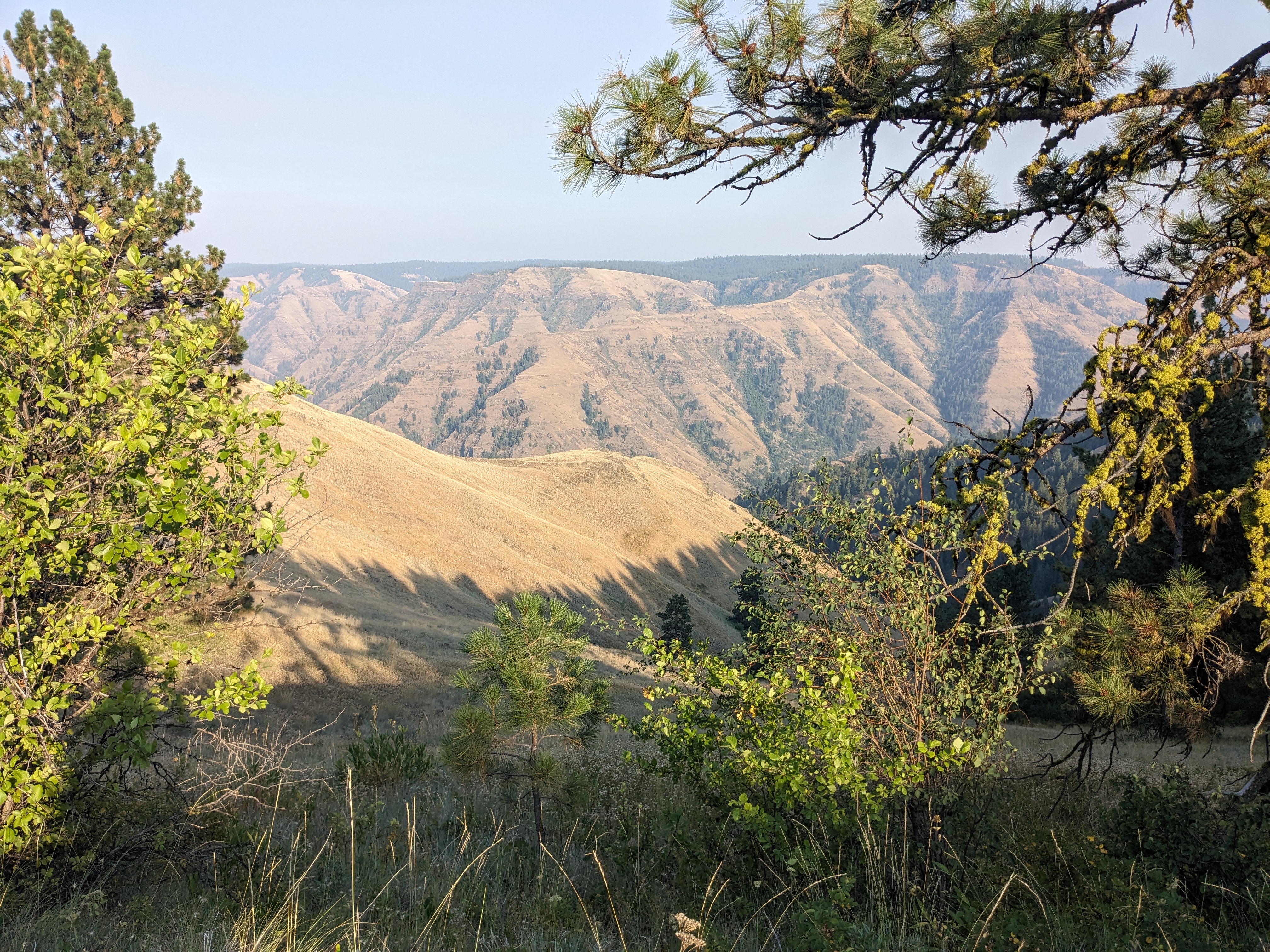
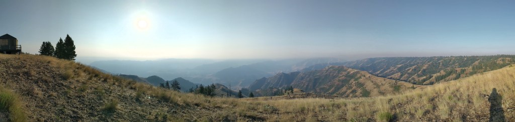
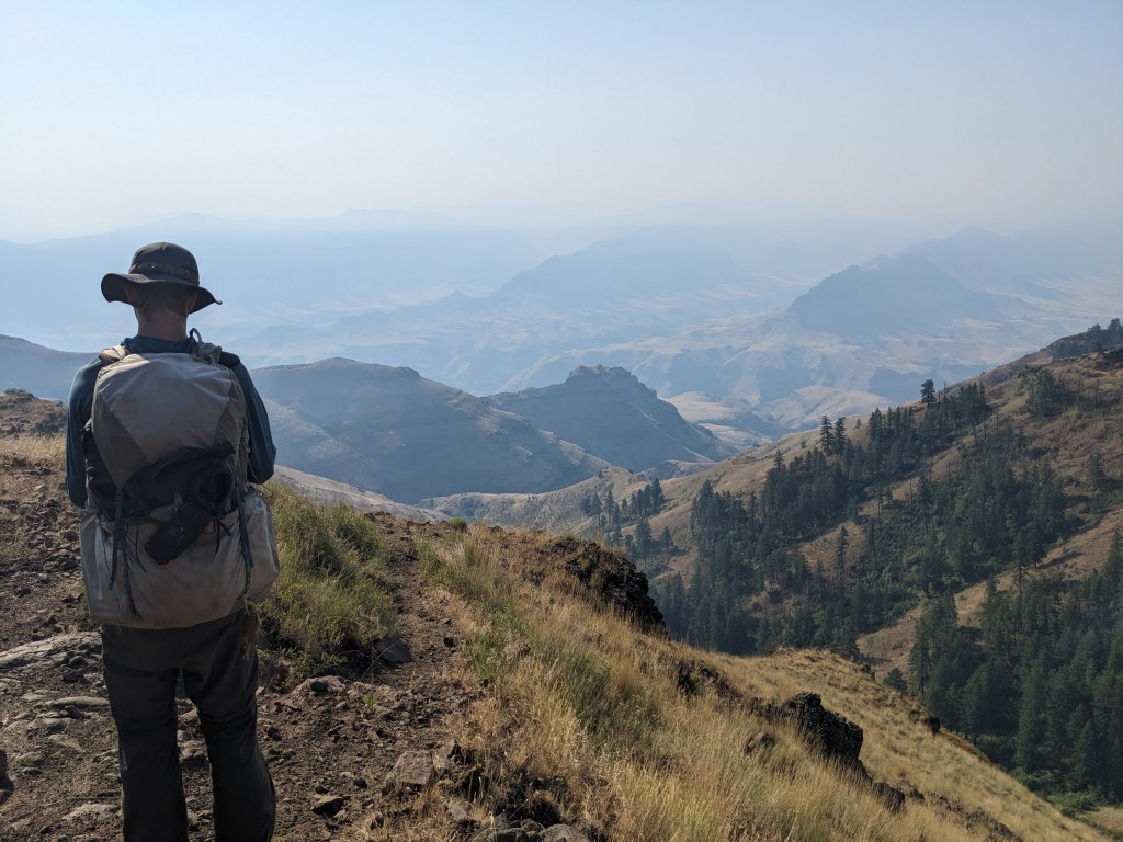
The hiking the next day was mercifully much easier, although I was counting down the days (1.5) till we would meet our friends with our resupply (and hopefully some extra food to fill up our depleted tanks). I felt very sore and the smoke was socking us in more than I would have liked, given that we were hiking along the rim of Hells Canyon and I believe we missed our only view of the Snake River because of the smoke. I was feeling homesick, but trying to keep the perspective I had gained the day before; all of this was temporary and I just needed to do what we were doing right now. We got to witness a couple planes land and takeoff at the airstrip in the morning, and we camped that evening in a burn area next to a huge excavator that was doing some kind of cleanup. It was another 21 mile day.
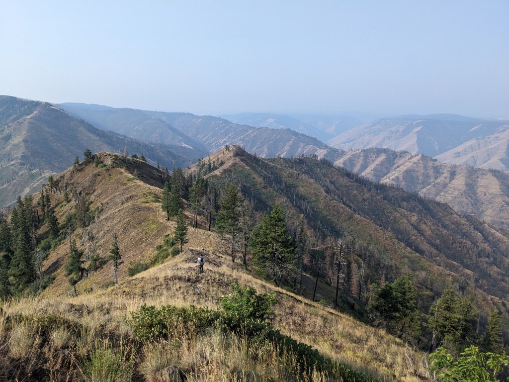
The next day is the day that my trail journal ended. Because we were on such a long section between towns, I was beginning to ration my phone battery to ensure it would last the duration of the trail as it was my primary source of navigation. I entrusted Gretzky and O’Well to take sufficient photos and to keep me on route when I had my phone turned off, and it was a very good exercise in trust, to not pull out my phone and double check whatever they were saying about the map details or the databook notes. I believe this was the day that I fell going down the steep ridgeline, and this was probably the lowest point for me on the trail. Amazingly though, after eating something and getting to the top of our elevation for that day, my mood did a complete turn around. We were still skirting the rim of Hells Canyon, and we had pockets of views between smokier sections. We were actually incredibly fortunate the smoke wasn’t worse as we were ringed on all sides by fires, and the trail was actually closed behind us now near Troy due to wildfire – we guessed that the woman who gave us water from a garden hose had most likely evacuated. We hiked 21 miles and camped on a decommissioned FS road, struggling to drive our stakes into the old gravel. We were fairly boisterous in camp though, having survived the most difficult food carry and anticipating our ressupply the next day.
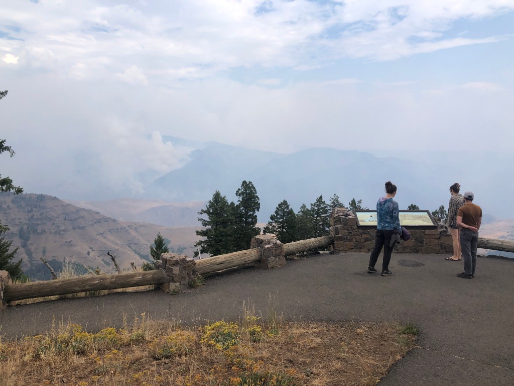
We met Johnny and Kelly at Hells Canyon Overlook, 10 miles out of camp that day. It was incredibly smokey that morning, much worse than it had been the night before. We walked down a relatively flat gravel road to the overlook, and a couple FS workers in a side by side were zooming up and down the road, passing us 4 or 5 times throughout the morning. I didn’t realize it until we got the the overlook, but they were probably scouting out fires – we saw from the overlook the plume of smoke rising out of the canyon, indicating a small fire had popped up there. I wasn’t concerned; the workers would have told us to evacuate if it was necessary, and given how important this recreation area was, they would surely apply a lot of resources to putting out the blaze.
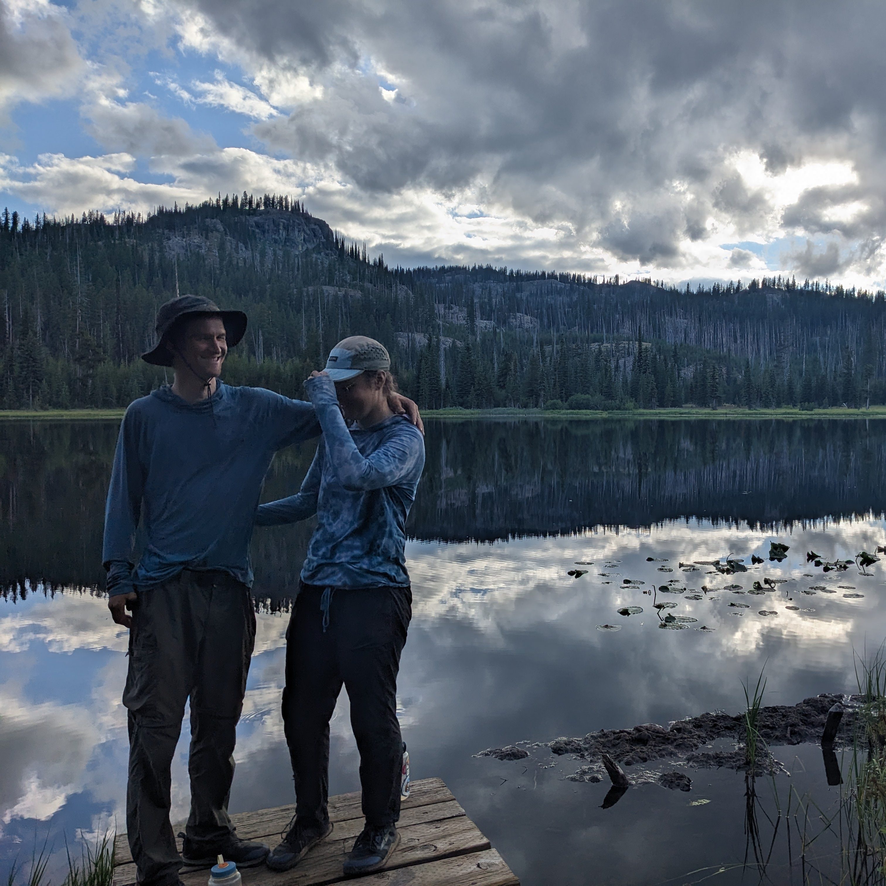
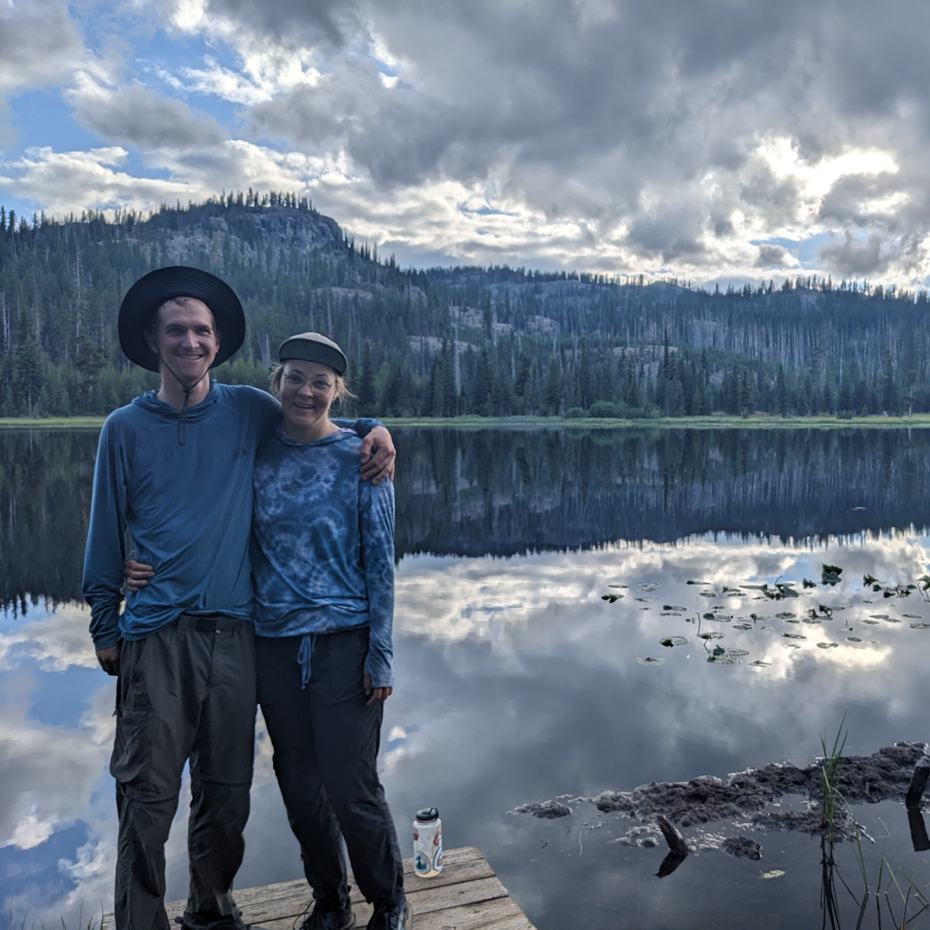
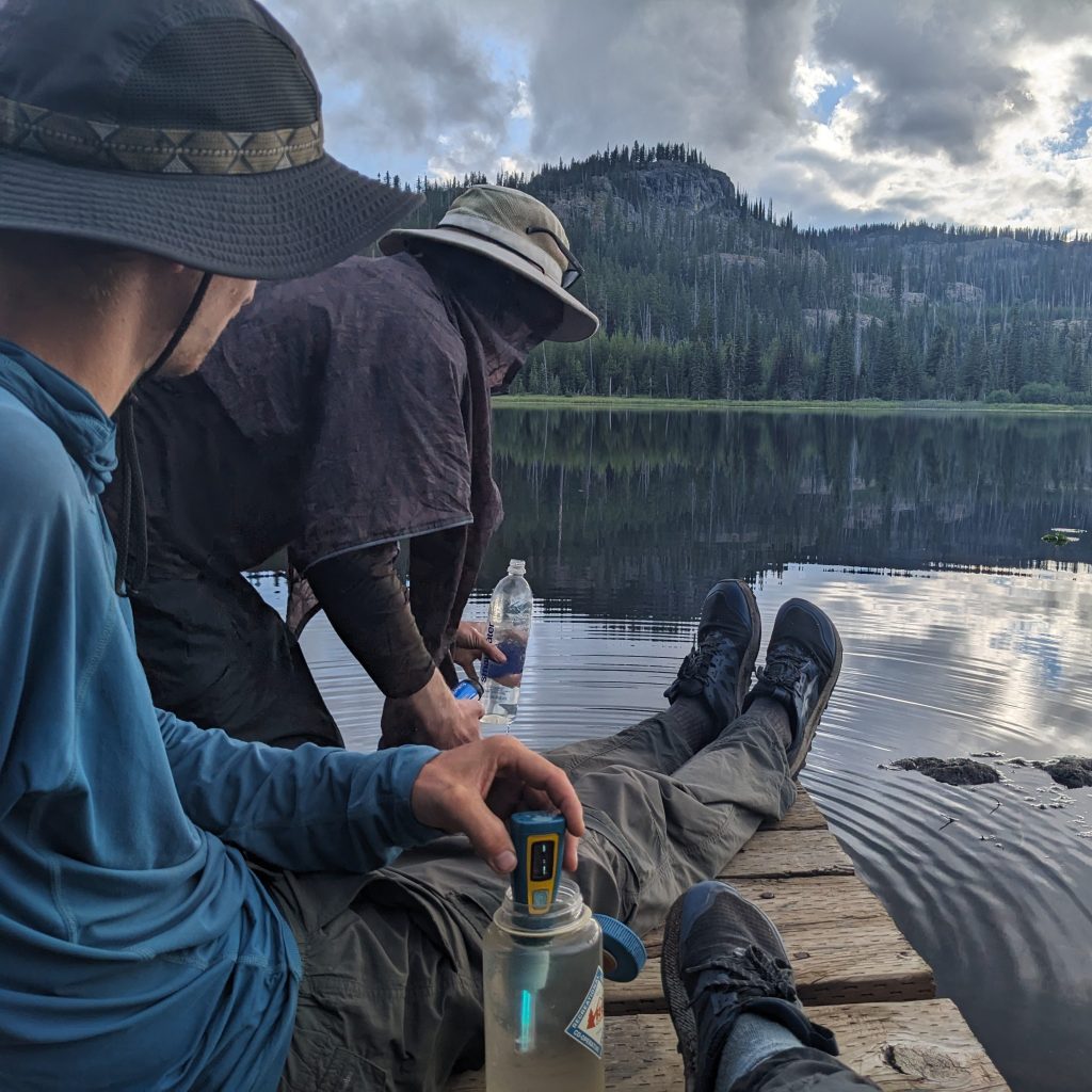
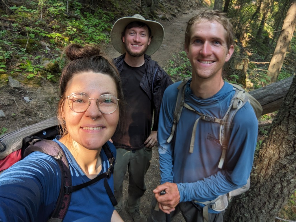
Johnny and Kelly picked us up around 3 pm and we had a grand evening. We got to ride in their car to a nearby campground (no walking!) and they had brought us mac & cheese, canned chili, mountains of fresh fruit, and various other foods which we steadily destroyed throughout the evening. We were also able to recharge our devices on Kelly’s booster pack she kept for jumping her car in emergencies, a relief given all of our phones were essentially dead and we still had 3 days of hiking ahead of us. For me, the best part was the company though. We had all agreed by that point that one of the best parts of thru-hiking is the social nature of long distance trails. You make friends (and sometimes meet your life partner) you meet interesting people, you share stories and news and commiserate with other hikers, all of which we were lacking in this isolated corner of Oregon. Kelly and Johnny weren’t other hikers, but they were interested in our stories and to O’Well and I, they were familiar faces. Visiting them reminded me that I had a full life that I was heading back to when this was over, in fact I would probably be seeing them again the following week. It was refreshing and much needed, and I was so grateful they had made the journey for us.
The only downer was the rain. It started at about 6 and gently sprinkled, never getting so bad that we had to flee to our tents, and I was glad we weren’t hiking. It did rain much more overnight, although it had stopped by the morning when we were eating breakfast and packing up. They drove us back to the overlook and we said our goodbyes. I noted that the smoke plume was gone, surely the rain had helped with the fires, but we still couldn’t actually view the canyon because it was now filled with clouds.
We had only hiked about 5 miles before the rain started and my mood soured. We were so close to the end and we had already gone through so much. Couldn’t we just have a nice couple of days to round out the hike. I was crabby and stomped my way down overgrown trails which were becoming a car wash, soaking my shoes and making cold, to duck lake. The rain did ultimately stop before we got to camp, allowing us to dry out our tents in the sun which were still wet from the night before. I felt pretty foolish, for being so grumpy about what turned out to be a pretty insignificant rainstorm, but I was really tired of having wet feet, and if you’ve never slept in a wet tent before, definitely don’t try it. My bad mood was offset by O’Well, who was feeling pleasantly nostalgic for the Appalachian Trail, which is a notoriously cold and wet trail, and was telling us all about how fun it was while I squelched grumpily in my rain pants.
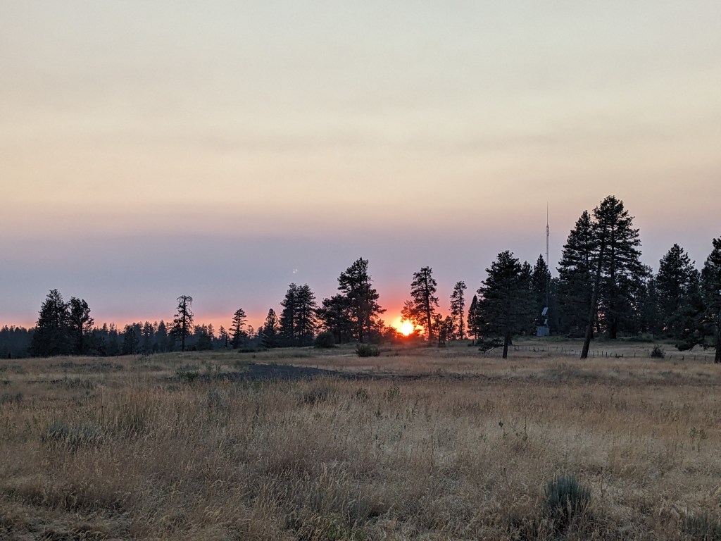
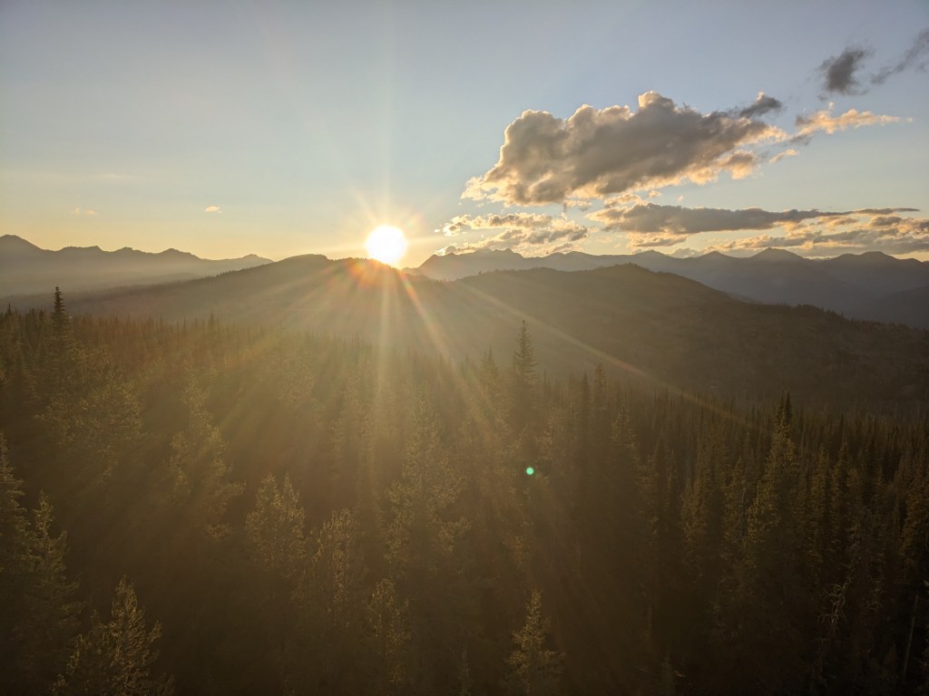
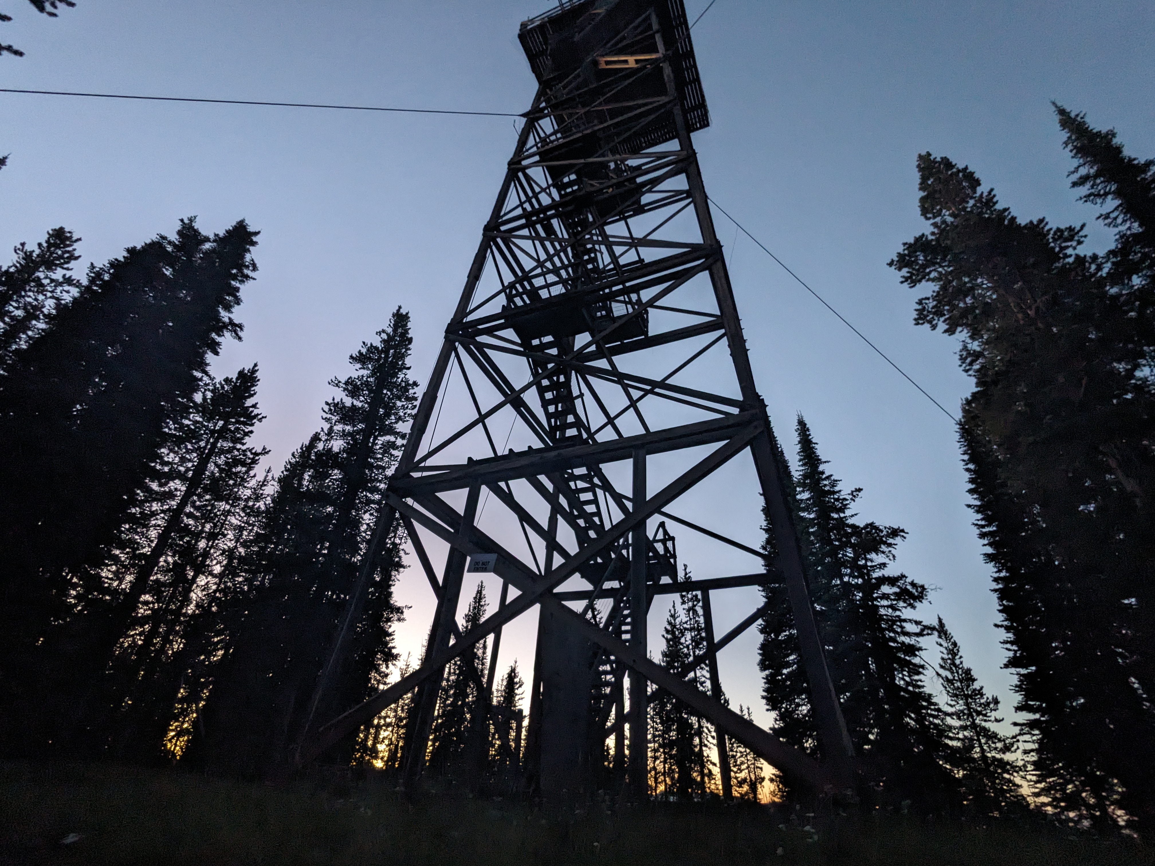
We made our last bushwhack of the trail up to Twin Lakes where we water before making a climb up the SugarLoaf Trail. All day we had been hiking West, away from Hells Canyon, and we aimed to camp somewhere at the top of Russel Mountain, which would put us in a good position for getting to Wallowa Lake and the end of the trail. We didn’t have a precise destination in mind, but after my angst at the rain wore off I found I was in a pleasant mood, meandering through picturesque little meadows. We kept going until we hit the Russell Mountain Lookout. I expected some kind of viewing platform. What I didn’t expect was a fire lookout tower a hundred feet in the air. We immediately determined we had to climb it and catch the sunset, ending our day at 21 miles. We hurriedly pitched our tents and gathered together our stoves to cook dinner up at the top, and arrived in time to watch the sunset over Eagle Cap Wilderness. I was stunned. As O’Well and Gretzky began to climb down, I paused to look out and the austere peaks, at the clouds gently swelling in the twilight and feel the cold wind on my face. I thought of nothing.


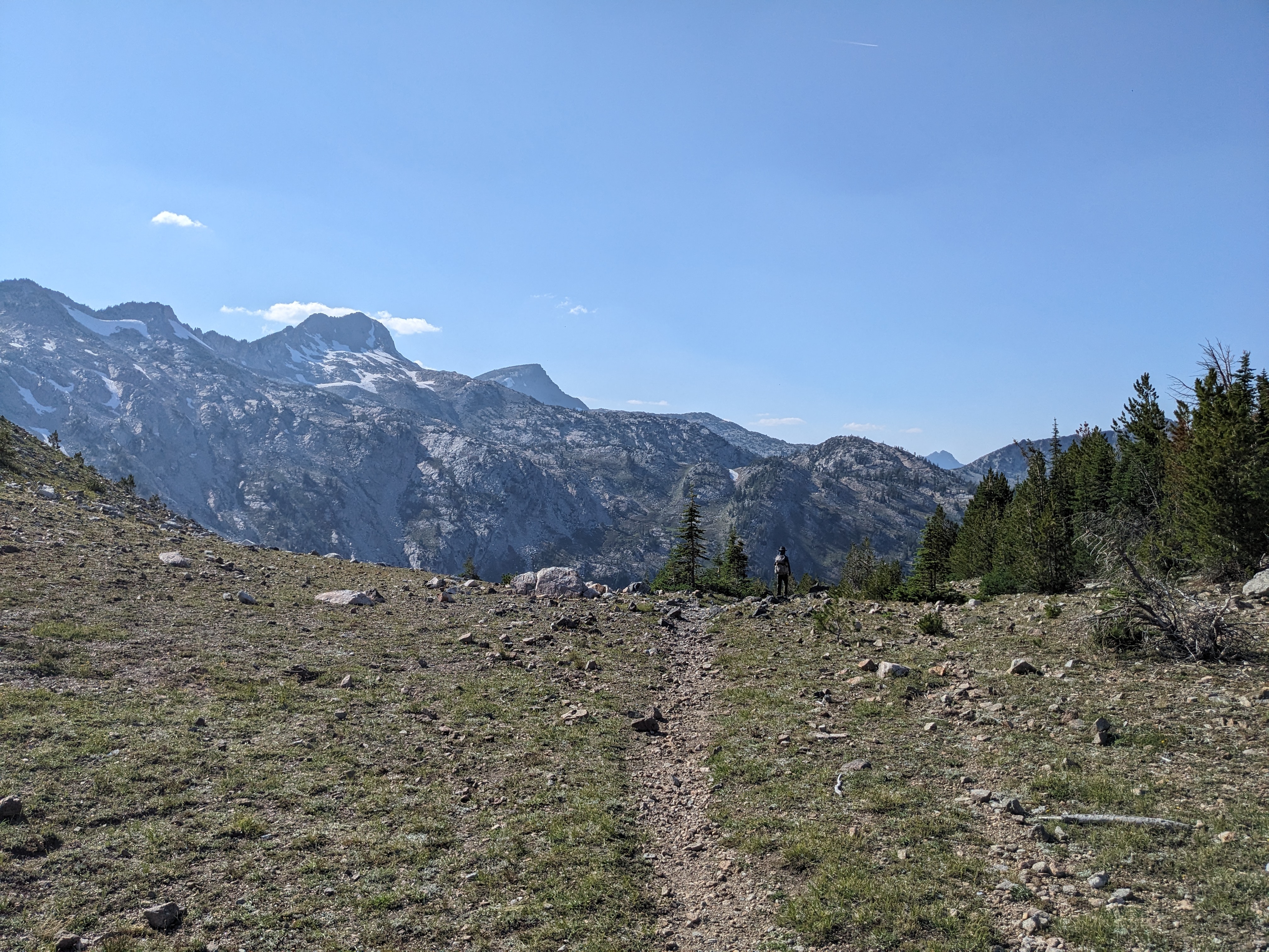
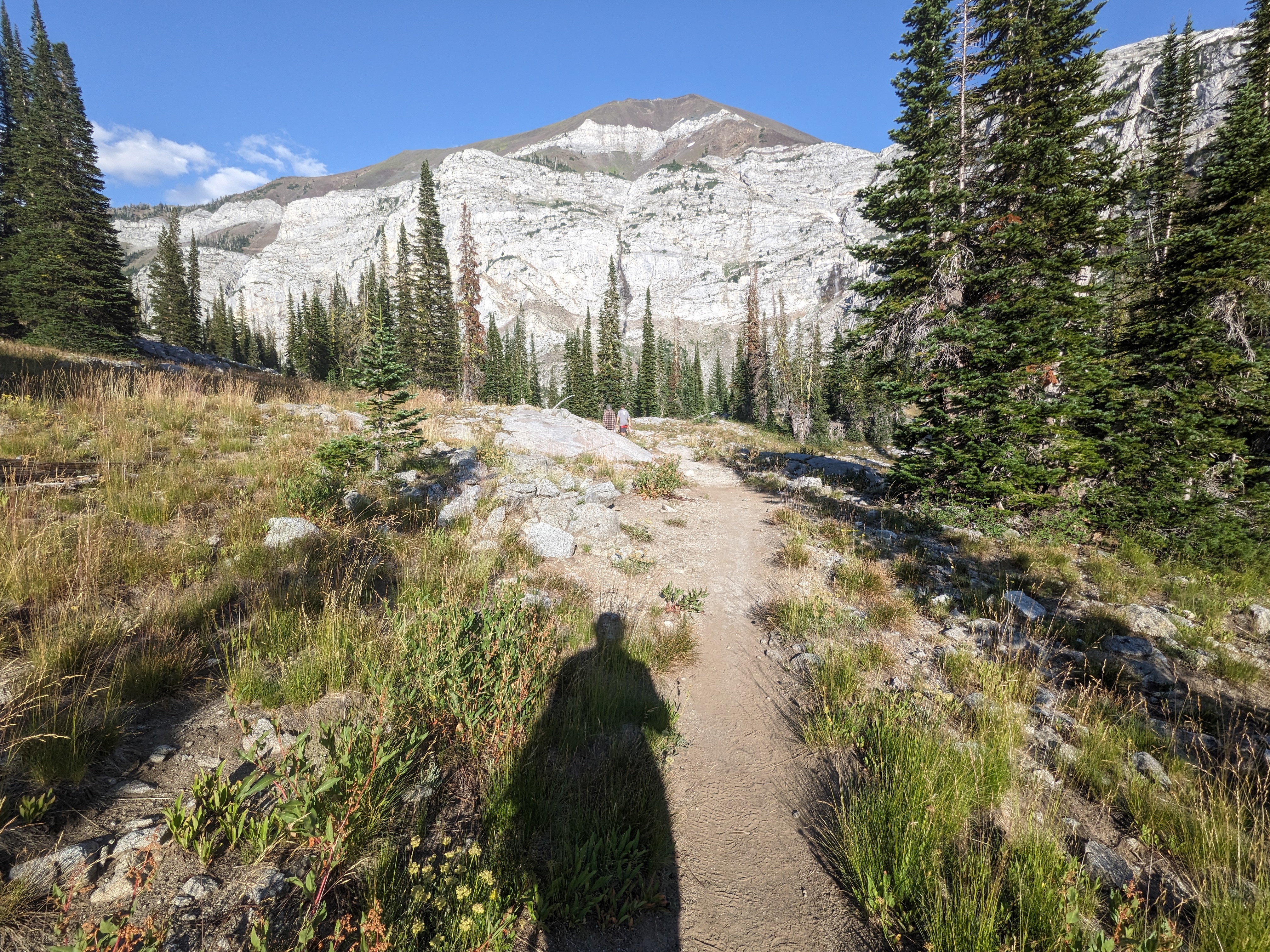
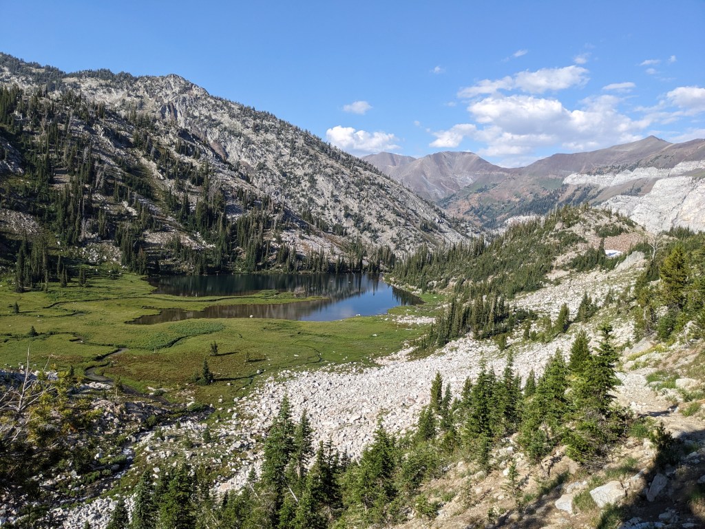
Our last full day on trail was probably the most spectacular. We were still benefiting from the rainstorm having removed all the smoke, and I was incredibly grateful, or else we wouldn’t have been able to experience Eagle Cap Wilderness to its fullest. Eagle Cap was probably one of the main things that drew me to want to hike the trail, but I was still surprised when that morning we began to meander through enchanting meadows, sprawling hills, with the most majestic, titan peaks as a backdrop you can ask for. It was pristine in the way you want your wilderness to be, and most importantly, we were on a trail. Later in the day we followed the South Fork Imnaha River along granite canyons which O’Well said reminded him of the High Sierra Nevada’s, austere and towering. The river terminated (or really, originated) in a bowl of cliffs which, upon inspection, I couldn’t determine how we were going to get out of. The trail switchbacked us right up over a cliff that didn’t look like it should be climbable, and we reached the highpoint of the trail at Hawkins Pass, 8300 feet. Water cascaded everywhere, there still being patches of snow melting down into Little Frazier Lake, and with each step down we watched the water coalescing into the Wallowa River. I felt a deep sense of having arrived, that this is what we had done it all for.
The irony of the weekend backpackers we were suddenly encountering who had just hiked up from Joseph that day didn’t escape me, but I didn’t resent them. We had worked much harder than they had to get here, but perhaps they didn’t know how special of a place it was. Perhaps the suffering was what created the beauty in me, and I smiled at every one of them, joyful that they got to see a little sliver of it as they sweated and panted their way up to Frazier Lake with overloaded packs and soft bodies. I was just like them, and we were all here together.
I was riding a high. After being worn so thin, pushing so hard, we had done it. My thoughts began to drift to the trail ending. It would be over so soon. Had I done enough? Had I enjoyed the experience enough? Had I done what I came here to do? Would I leave this place tomorrow and feel that I hadn’t finished, that I wanted to go back? I felt it was okay to ask these questions, but ultimately the answers didn’t matter. I had hiked while I hiked, and tonight I would camp while I camped, and tomorrow I would leave when I left. Right now I had water to collect and sterilize, and a few more miles to go.
We camped that night in a meadow at 22 miles for the day, looking up at the last of the majestic peaks, and we shared dinner a final time in the woods. I discovered quickly the mosquitoes were pretty bad and sprayed myself down with the herbal bug spray I had picked up in La Grande. “It wouldn’t be the BMT if there wasn’t something,” I joked, feeling the bug spray mix with my sweat and grime and longing for the hotel room where I would get to shower tomorrow.
Just 6 miles later in the morning we finished, passing a veritable river of day hikers and weekend backpackers coming up the trail. It was a little baffling after seeing so few hikers the entire rest of the trail, but it was probably the most beautiful place after all.
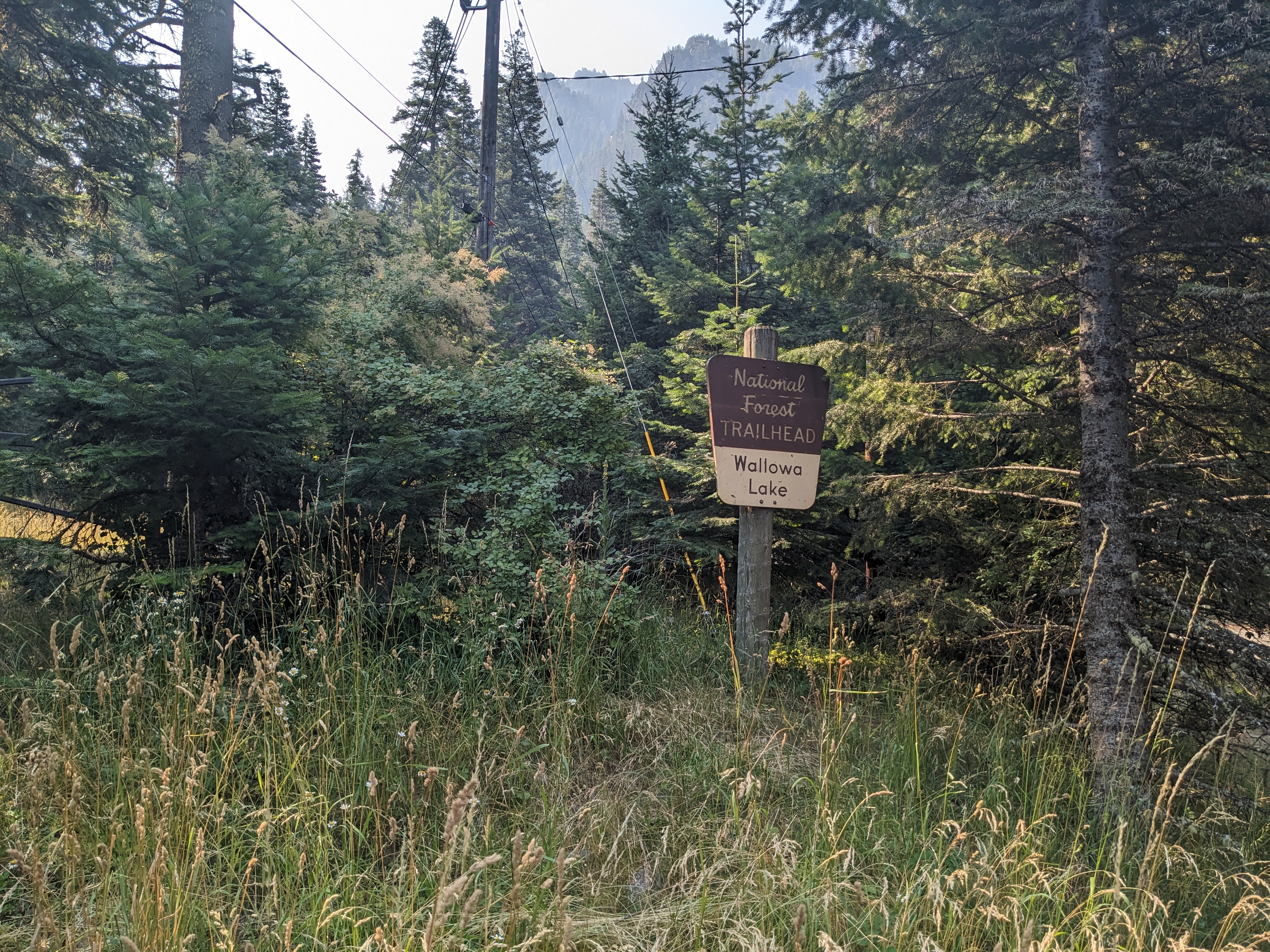
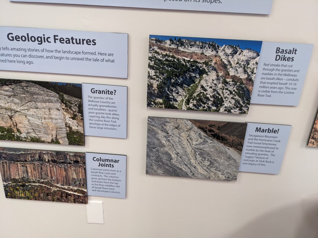
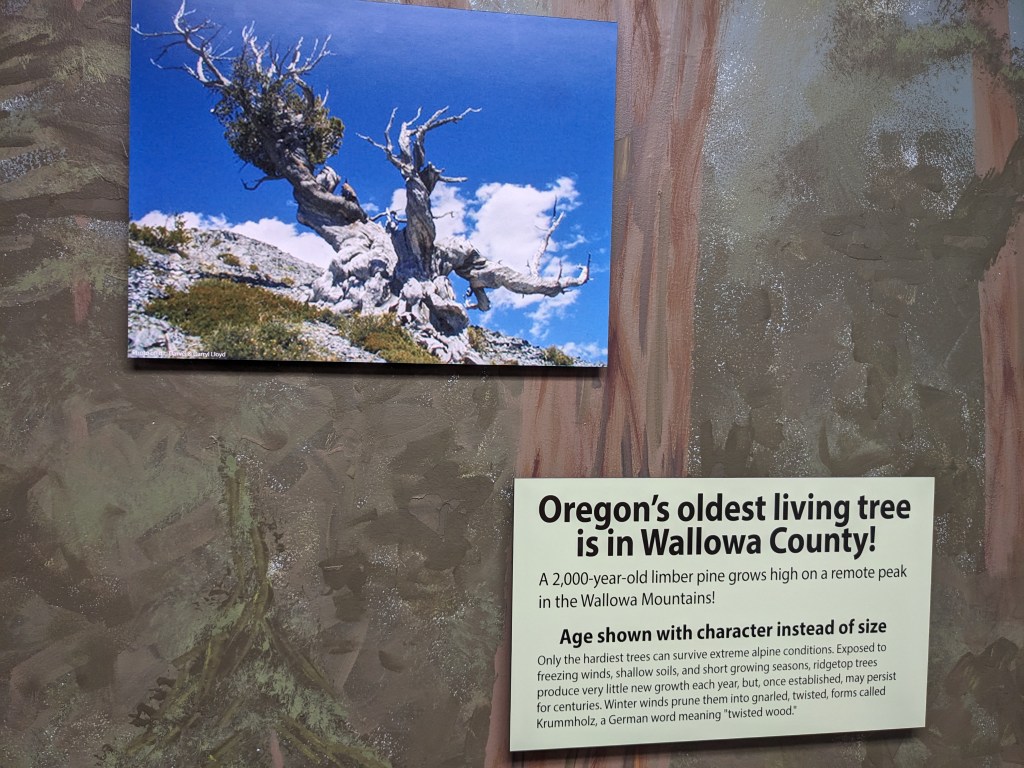
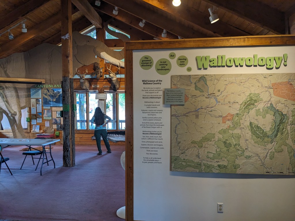
We ended our hike at the Wallowa Lake Trailhead, where there was, conveniently, a bus that would take us right into Joseph where we could get on another bus back to La Grande. I smiled as I used a flushing toilet, as we got a full breakfast in Joseph, as we explored the Natural History museum in town. Later that evening back in La Grande we would go to Side A brewing and celebrate our victory. The feelings of relief mingled, as always, with grief about an ending. We would be saying goodbye to Gretzky very soon, unsure when we might see our dear friend again. We would be heading back to work, to complicated lives, to responsibility. Walking is a peace I have never quite learned to find in the modern, complex world we live in, and the sorrow of parting can only be felt as it comes. It’s almost certain that in the next moment, you will once again feel joy.


great post Erika!
LikeLike